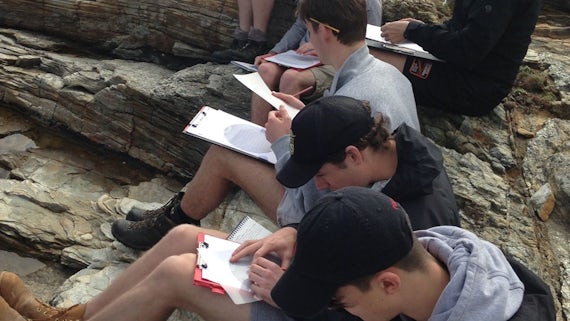
Fieldwork in Northern Spain
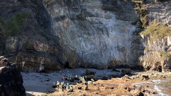
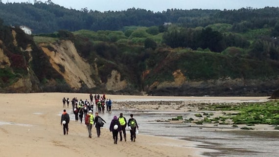
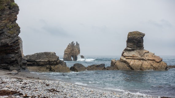
Along the beautiful northern coast of Spain, the cliffs and rock outcrops give excellent insights into the structure of Earth’s crust.
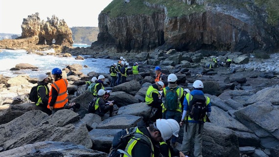
Our second-year geoscience students get the opportunity to learn how to observe, map, and interpret rocks in the field. Using structures that are visible in rocks at the surface of the Earth, such as folds and faults, you'll discover out how mountain belts and their mineral resources formed in the past.
After gaining skills in measuring and analysing sedimentary, metamorphic and igneous rocks, you will visit the heart of the Cantabrian mountains to practise these skills by making a geological map of a small area independently.
This field course allows our students to apply the skills they have acquired throughout the course to determine the structural history of an area and to compile a high-quality geological map. This practical experience prepares students to complete a fully independent geological mapping dissertation in year three.
The School is committed to achieving the highest standards in research and education and to providing a rich and varied research-led environment.
